Smart Life Audio Visual, based near London, prides itself on delivering a high quality personalised service in the fields of Audio Visual Installation, Home Automation, Networking and Security to residential and commercial clientele.


Services
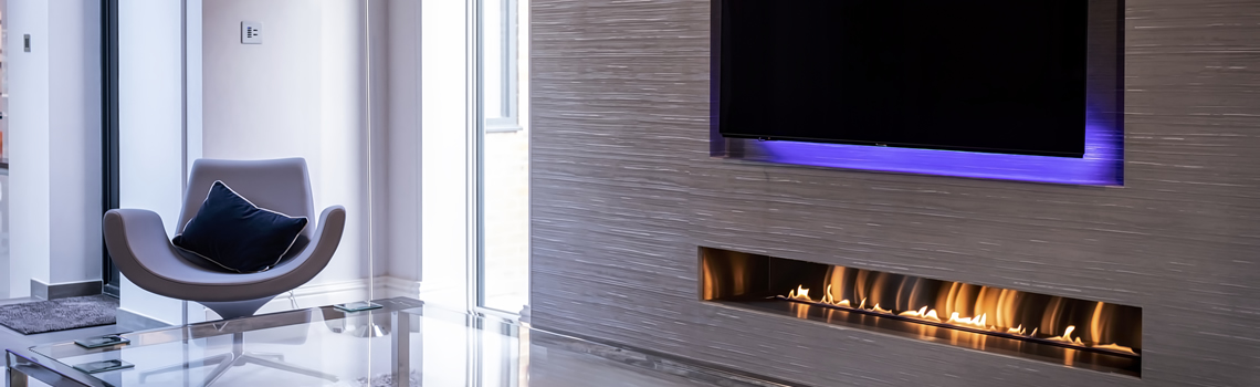
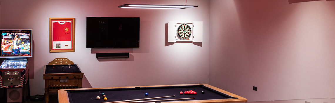
Audio Visual
Home Cinema
Multi-Room Audio
Aerial & Satellite
Video Distribution
Home Automation
Crestron Home
Blind Control
Heating Control
Lighting Control
Networking
Wired Networking
Wireless Networking
Network Monitoring
Centralised Distribution
Security
CCTV Cameras
Video Door Entry
Gate Control
Alarms
Values
Our Commitment
Is to deliver outstanding Audio Visual services. Smart Life AV prides itself on delivering a bespoke, friendly, knowledgeable and reliable service
Our Approach
We build lasting relationships with our clients and excel at explaining technicalities in layman’s terms. We invest time into professional training to remain at the forefront
Our Aim
Ensure our clients are fully satisfied. We achieve this via delivering outstanding installations and leaving our clients with an enormous smile
Why Choose Us
CEDIA Advanced Member
We are recognised as an industry leading service provider by achieving CEDIA Advanced Member status. Only held by the top 2% of companies
Technical Background
Our team have obtained CEDIA exam certifications in addition to professional qualifications in Computer Science and Project Management
Certified Dealer
We invest time into professional training with the best brands so you can be confident in our ability to install their products as intended for the optimum results
Personalised Approach
Our consultancy process ensures that together we determine a bespoke solution tailored to your requirements.
Passionate
Technology is one of the most rapidly evolving industries. We remain at the forefront by attending industry events and keeping on top of latest developments because we love what we do.
Product Offering
Researching the equipment we supply to you is critical. It means that we can stand behind our products and truly say you are getting the best on the market for your requirements. In most cases we supply products of higher quality exclusively available to installers like us.
Insurance
We are fully insured for your peace of mind
Care Plan Service
Our clients love our approach to aftercare, service and support